
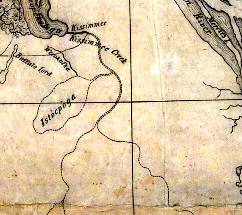
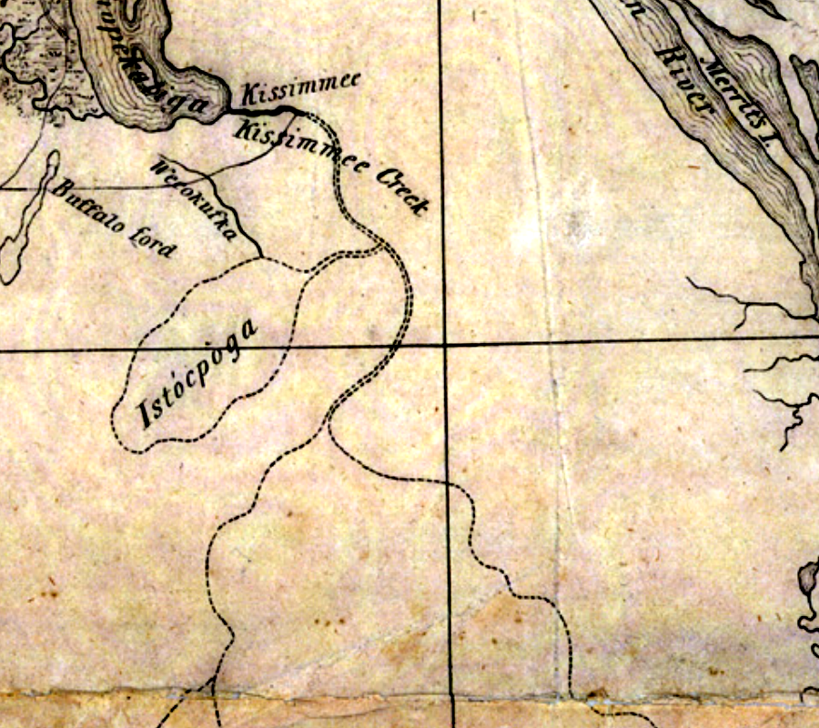
Detail of Lake Istokpoga and Kissimmee Creek from the 1837 Map of Florida lithographed by Philip Haas
Credit line
University of South Florida Digital Commons, Florida Maps Collection, Image 119
Rights
Status: public-domain. Published in the United States in 1837
Original item: https://digitalcommons.usf.edu/fl_maps_collection/119
Where this comes from
- Review
- unverified — Drafted from sources but not yet checked by a volunteer.
- Rights
- public-domain — Published in the United States in 1837 Held by University of South Florida Libraries. Rights statement
Sources
- United States. Army and Philip Haas, Detail of Lake Istokpoga and Kissimmee Creek from Map, Teatre of Military Operations in Florida during 1835, 36 & 37, 1837
Something here wrong, or incomplete? The Society would rather know. Tell a volunteer.
Have a question about this record?