
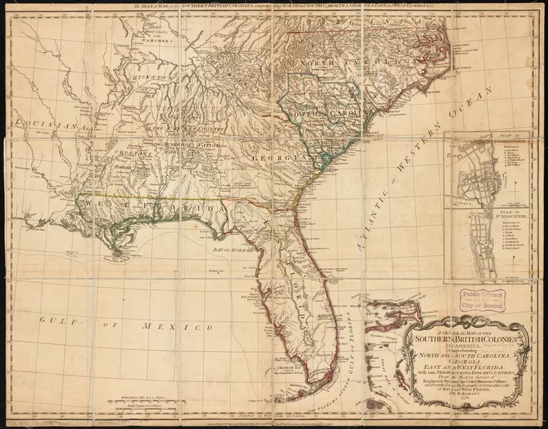
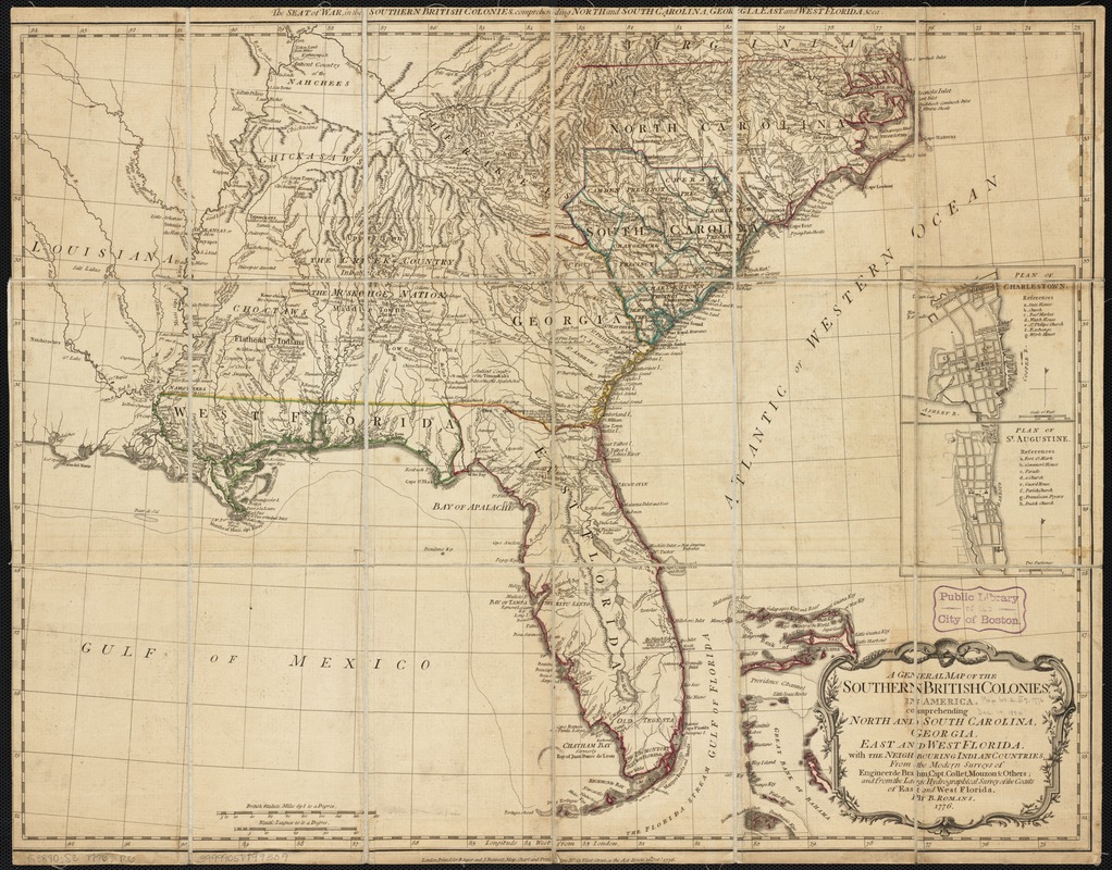
Bernard Romans, A General Map of the Southern British Colonies in America, 1776
Bernard Romans, a Dutch-born civil engineer and marine surveyor who served the British Crown in East and West Florida, engraved this general map of the southern colonies in 1776. It covers the Atlantic seaboard from the Carolinas south through Georgia and the Floridas and west along the Gulf coast, and it reflects the coastal and navigational focus of Romans’s own surveying work.
The Florida peninsula shows the detail Romans and his contemporaries could gather from the water: an articulated shoreline, soundings, reefs, keys, inlets, and the Gulf harbors. South of roughly 28° North the interior is drawn as an unbroken blank. No lake, river, hill, road, or settlement is marked anywhere across the Lake Wales Ridge or the upper Kissimmee basin — the territory that became Highlands County. British surveyors had not entered it, and the map does not pretend otherwise.
The map is one of the clearest illustrations of a wider pattern in eighteenth-century cartography, described in Eighteenth-century colonial cartography and the absence of Highlands County place-names.
Credit line
Norman B. Leventhal Map & Education Center at the Boston Public Library
Rights
Status: public-domain. Published in London in 1776; copyright long expired. The Boston Public Library states: No known copyright restrictions. No known restrictions on use.
Original item: https://collections.leventhalmap.org/search/commonwealth:9s161c45m
Where this comes from
- Review
- unverified — Drafted from sources but not yet checked by a volunteer.
- Rights
- public-domain — Published in London in 1776; copyright long expired. The Boston Public Library states: No known copyright restrictions. No known restrictions on use. Held by Boston Public Library. Rights statement
Sources
- Bernard Romans, A General Map of the Southern British Colonies in America
Something here wrong, or incomplete? The Society would rather know. Tell a volunteer.
Have a question about this record?